
Wales - Sep 2026
| Snowdon - Yr Wyddfa - Sep 2026 |
| Start+End | Beaumaris | Conwy | Snowdon | A day off | Caernarvon | Anglesey | Harlech | Strange Stuff | Timeline |
| During our summit hike, we walked 14.9 km in 4:41 hrs with 2:13 hrs of breaks. That is a lot of sitting down with tea and hot chocolate. The breaks were well-deserved because we climbed 996 metres. |
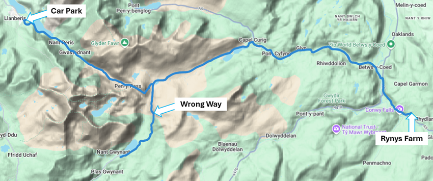
| Because we had checked the weather forecast, we set off from Rynys Farm at around 9:30 am. We were hoping the clouds would lift in the early afternoon. Since co-pilot Hild was busy looking at sheep and taking photos, we missed the junction for Llanberis and were 30 minutes delayed arriving at the car park. Thankfully, there was plenty of space in the car park across from the train station even if we didn't arrive until 10:30 am. |
|
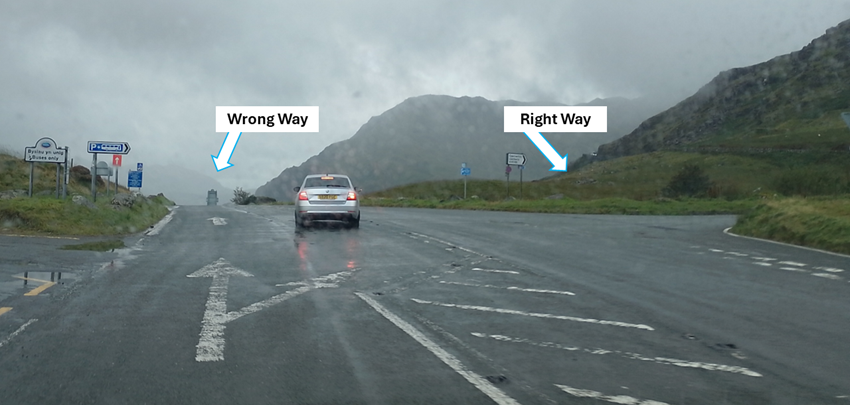
| Here is a photo of the junction we missed. We feel vindicated as it was not very clearly signposted for Llandberis - and it was raining. |
|
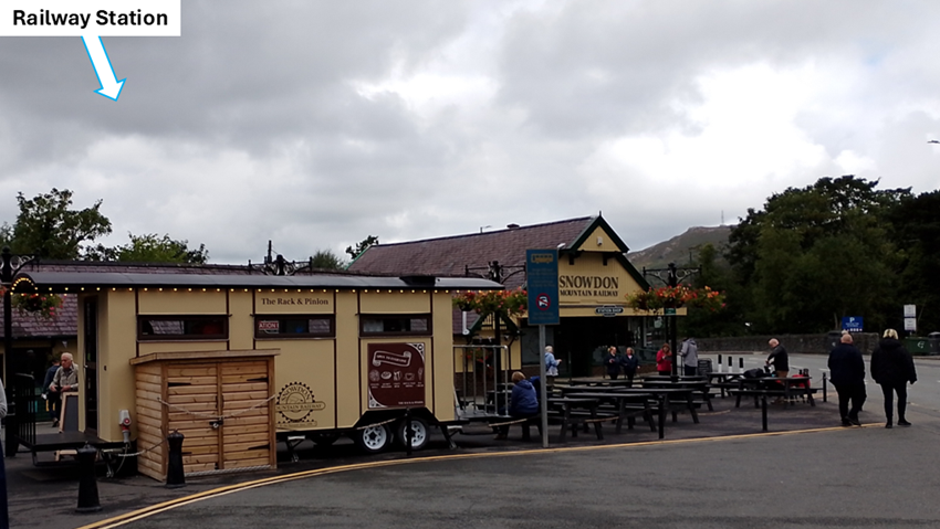
| Many people were getting ready to board the train to the summit with less exertion. We just had a quick toilet-stop at the station before setting off just before 11 am. |
|
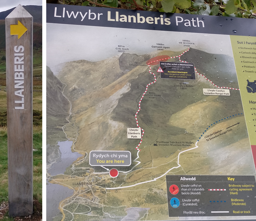
| We decided on the Llanberis Path, which is the longest but more leisurely hike. It is 14.5 km there and back and often takes 6 hours. The path ascends 975 metres. The map warned us of dangerous hiking under snow and ice conditions. Not an issue on this September day. |
|
| The first part of the trail was on paved farm roads. It was very very steep. But it was going to get worse - much worse. |
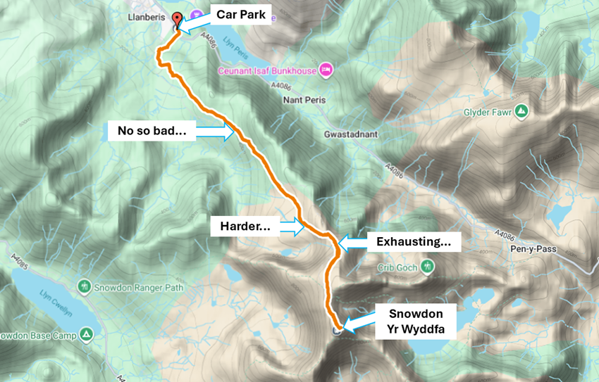
|
| A sign reminded us to keep dogs on a lead because of the number of sheep in the area. Still, it seems like this was hard to understand for some... |
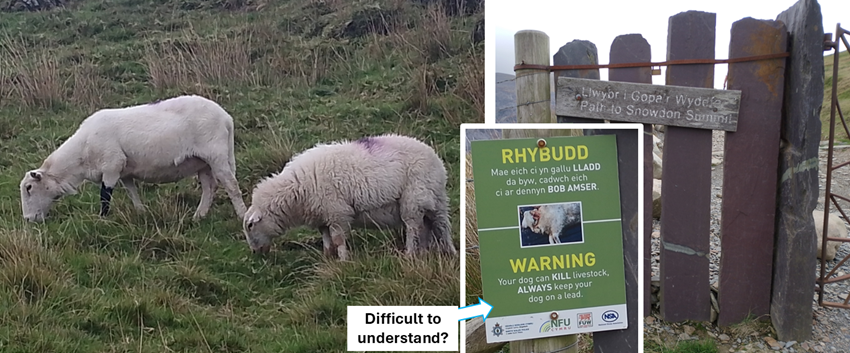
|
| At the half-way mark we were warned that the easiest part was done. What lay ahead was a 665-metre climb (222 flights of stairs) in just over 3 km. We were also reminded that the summit is actually the half-way mark because you have to come back down again. Hm, good point. |
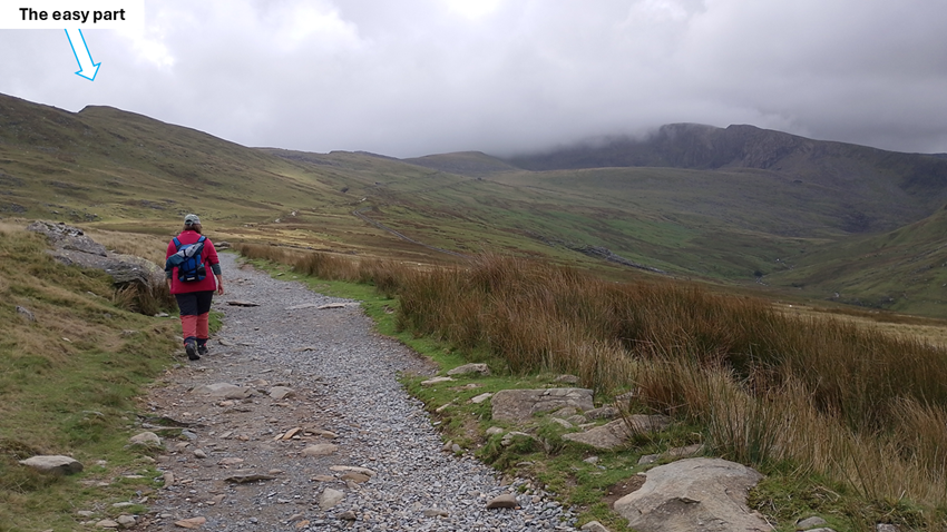
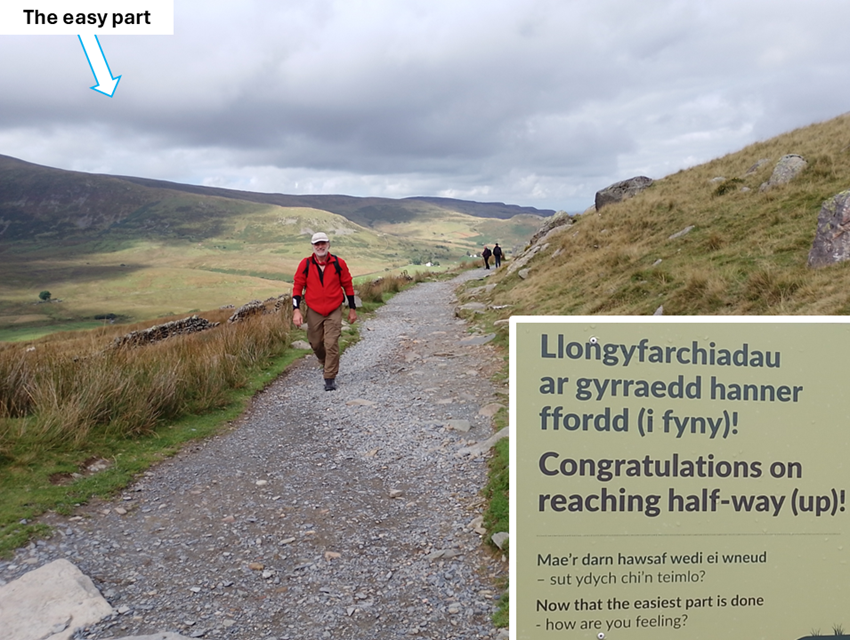
|
| Time for a small rest while enjoying the steam train going past with those who did not feel like hiking to the summit and back. |
| As we had hoped, the clouds were slowly pulling away, giving us hope that there would be a view at the summit. |
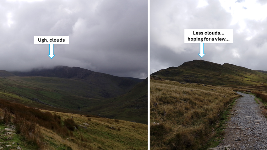
|
| Just along the path we found a "coin post" or "wishing post" where other hikers had stuck coins into it for good luck. The habit dates to the 1700s but this one doesn't look that old... |
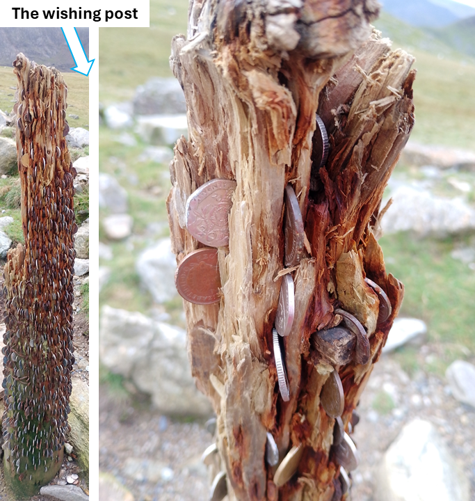
|
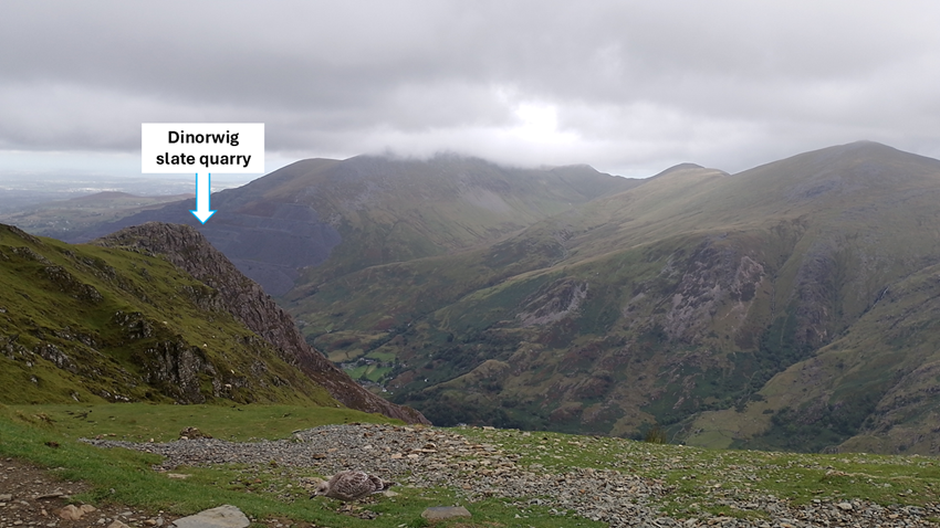
| As the path turned from gravel to large rocks, we were starting to feel it. We crossed under the railway line again and were warned to think again: 315 metres ascent coming up. We sat down for a rest and a chewy bar for extra energy. we were also rewarded with a big view back down to Llanberis and the Dinorwig slate quarry. |
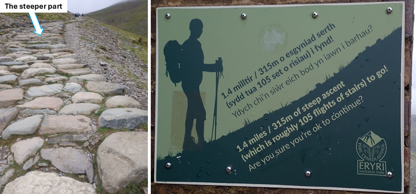
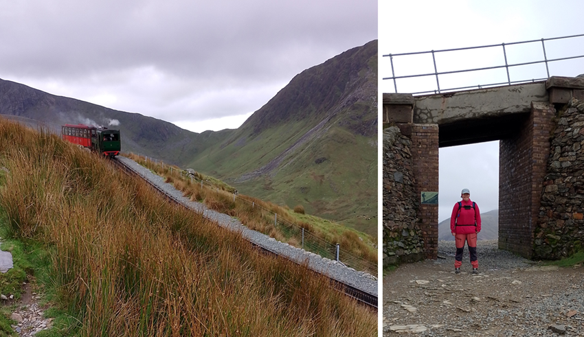
|
| The view back to Llanberis was beautiful also with the old Dinorwig slate quarry. |
|
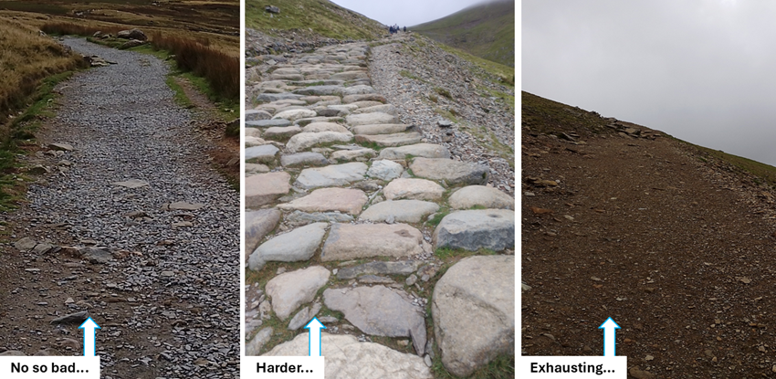
| These photos illustrate the different path conditions, from easy gravel track, to large stepping stones, to exhausting soft soil/gravel mix at the very steepest part. |
|
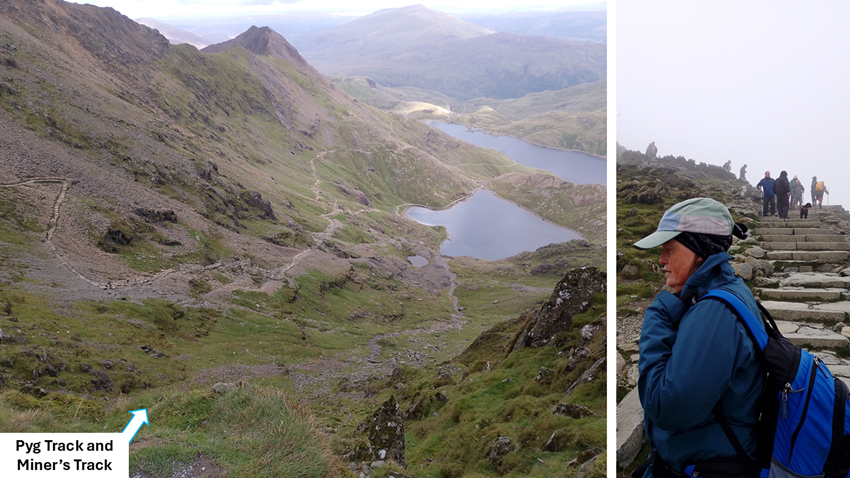
| In the photo Hild observes people taking some of the alternative paths to the summit. Both these start at Penn-y-Pass: Miner's Track and Pyg Track. These are supposedly quieter than our choice (although not the day we hiked), but they also require stronger ancles and knees and some hands-on scrambling. |
|
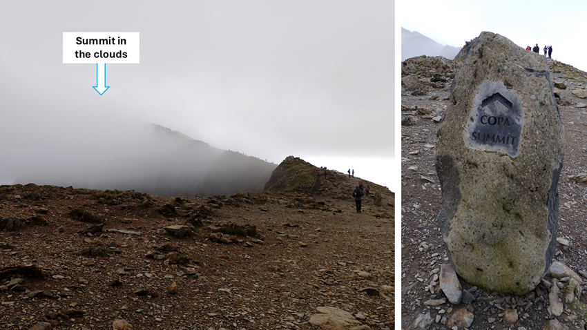
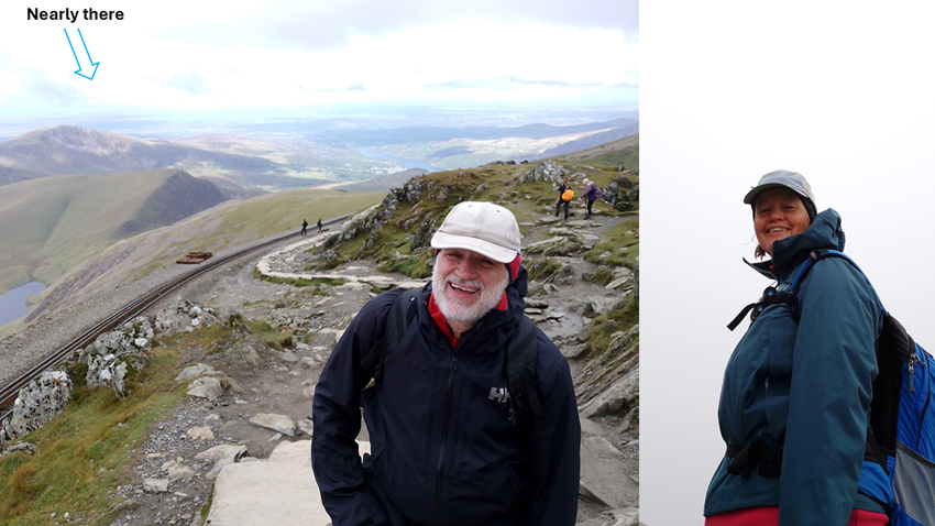
| Just as we were approaching the last part before the summit, the clouds rolled in again. Annoying, but not unusual apparently. |
|
| It wasn't all bad. With just a few steps to go, the clouds lifted a bit and we got to see the wonderful view. |
|
|
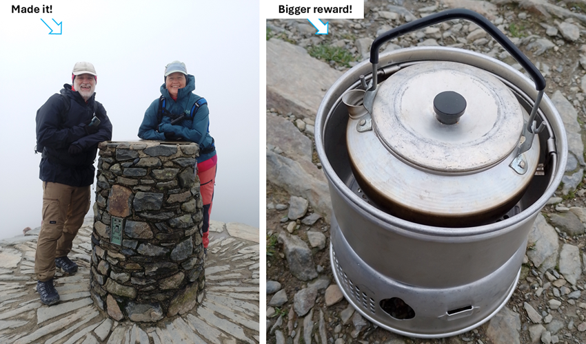
Suddenly it was our turn for a photo at the very summit of Snowdon, or Yr Wyddfa.
We had made it, and there was a fellow hiker behind us who kindly took our
photo. Because it was quite a quiet day at the summit, we returned the gesture
and took his photo together with his dog, Oreo. Oreo was a bit scared but looked
relieved that he had made it too.
To recover and gain some strength for the slog back home, we enjoyed our packed lunch and a cup of tea - of course. |
|
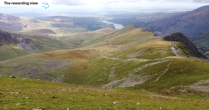
| As soon as we stepped a little bit down from the summit, the view was again sunny and wonderful. We had been so lucky with the weather. |
|
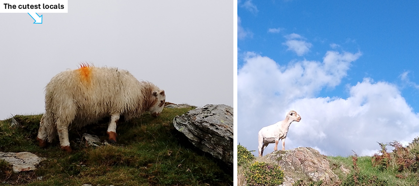
| All along the trail we encountered so many sheep. These locals are so cute with their brown legs and faces. They didn't acknowledge our presence and were very busy grazing on the steep and rocky slopes. |
|
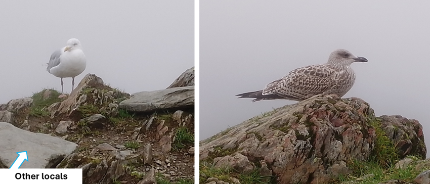
| Other locals were not so charming. Seagulls were hopeful that we'd share our scotch eggs and snacks with them. No chance, even if this particular juvenile bird was faking a limp for effect. He magically lost his limp if you turned away from him. Cheeky! |
|
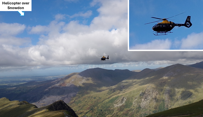
| We spotted this helicopter circling around Snowdon. Some research indicates that it is used for training pilot students in the Armed Forces particularly from nearby RAF Valley when they have to practice advanced low level flying and mountain rescue. Good thing they weren't looking to rescue anyone. It was such a beautiful day. |
|
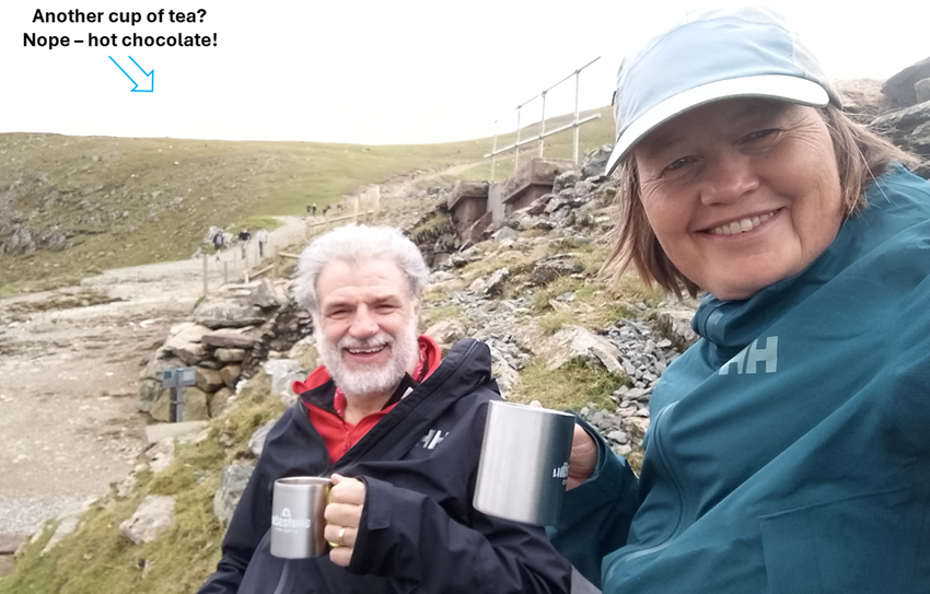
| When we got back to that horrible steep soft part of the track, we decided to traverse it in a zig-zag fashion. People thought we were crazy, but our knees were grateful. When that was all done, it was time for another hot drink: hot chocolate! |
|
|
By the time we got to the very steep paved farm road our knees were very wobbly.
So we gave them a break by traversing zig-zag across the road. We were trying to do
the math in our heads: If the gradient on the road is 30%, what is it if you traverse it
at a 45 degree angle? We got to 20% which isn't too bad given how tired we were with
no calculator. Here is the math:
Effective gradient = road gradient x cos (zig-zag angle) 0.30 x cos (45) = 0.3 * 0.71 = 0.21 |
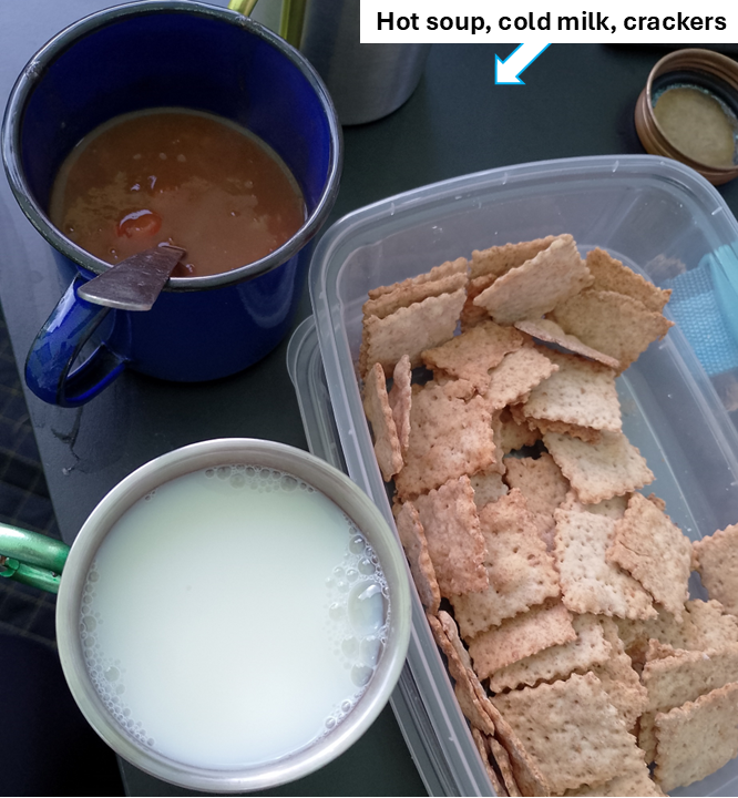
| It had been an exhausting hike and we rewarded ourselves with hot soup, cold milk, and crackers back at the tent at Rynys farm. Happy hikers. |
|
| Start+End | Beaumaris | Conwy | Snowdon | A day off | Caernarvon | Anglesey | Harlech | Strange Stuff | Timeline |
Sep 2026